What do hurricanes look like from space? It depends on how
you look! We have satellites, cameras and instruments all working together to
give us the big picture of storms like Florence.
As the International Space Station passed over Hurricane
Florence, astronauts and cameras on board got a look down into the hurricane’s
eye.
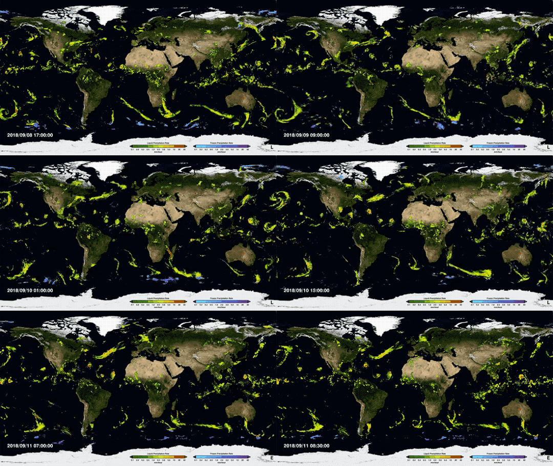
Our Global Precipitation Measurement (GPM) mission sees
storms all around the planet by measuring rainfall. These measurements come from
a constellation of satellites working together, including some from our partner
organizations like the National Oceanic and Atmospheric Administration (NOAA) and the Japanese Aerospace Exploration Agency (JAXA).

On Sept. 7, our GPM core observatory satellite flew over
Florence, capturing a 3D image as the storm’s clouds started to break apart
before reforming.

Other NOAA satellites, like GOES, gather high-resolution, detailed
views of hurricanes, letting us peek into the eye of the storm.

Zooming out a bit, the Suomi-NPP satellite helps us track
Hurricane Florence, and the following tropical storms, as they move closer to
landfall or dissipate over the ocean.

From farther away (a
million miles from Earth!), the EPIC instrument on NOAA’s DSCOVR satellite
captured images of all three of these storms as they moved closer to North
America.

We use our space-based and airborne instruments to provide
innovative data on hurricanes to advance scientists’ understanding of these
storms. You can follow our latest views of Hurricane Florence here and get the
latest forecast from NOAA’s National Hurricane Center here.


Комментариев нет:
Отправить комментарий